POLITICS & POLICY MAKING
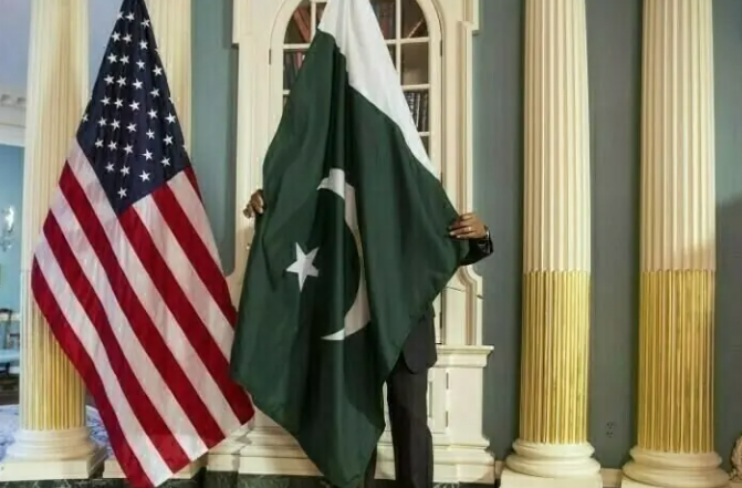
The Office of the United States Trade Representative (USTR) has removed a controversial map of India from its official X (formerly Twitter) account following a strong diplomatic protest from Pakistan over the depiction of internationally disputed territories as part of India, diplomatic sources confirmed on Wednesday.
The map had accompanied a USTR press release announcing a framework for the first phase of a bilateral US-India trade agreement. It showed the entire Jammu and Kashmir region — including Azad Jammu and Kashmir and Gilgit-Baltistan — within Indian boundaries. Additionally, it depicted Aksai Chin as part of India, despite the region being claimed by China and remaining subject to dispute.
The map was posted on Friday evening and was removed by Monday evening, coinciding with the first working day after the weekend.
Pakistan Lodges Formal Protest
Diplomatic sources said Pakistan formally conveyed its protest both to the US Embassy in Islamabad and to officials at the State Department in Washington. Islamabad emphasised that the depiction contradicted the long-standing US position that Jammu and Kashmir is a disputed territory whose final status must be determined in accordance with relevant United Nations Security Council (UNSC) resolutions.
Pakistani officials noted that even though the map did not label specific areas, any territorial outline issued by an official US government body carries political and diplomatic significance — particularly on a matter as sensitive as Kashmir.
The concern intensified after segments of Indian media presented the map as evidence of an alleged shift in US policy, portraying it as implicit support for India’s claims over disputed territories. Pakistani officials said this narrative made it necessary for Islamabad to promptly reiterate Washington’s traditional stance on Kashmir and prevent any misinterpretation from gaining ground.
Possible Technical Error
Officials familiar with the matter indicated that the map appeared to have been sourced from Google Maps, similar to another map used in a separate USTR press release regarding a trade arrangement with Bangladesh. While the India map has been withdrawn, the Bangladesh-related map remains available online, reinforcing the perception that the India map may have been posted inadvertently.
The USTR press release announcing the US-India trade framework remains accessible on official platforms, though without the disputed map.
Trade Deal Context
The controversy emerged as Washington and New Delhi announced a framework agreement aimed at enhancing bilateral trade. According to a joint statement, the United States will reduce tariffs on Indian goods to 18 per cent, having already eliminated an additional 25 per cent punitive duty. Reciprocal tariff reductions are expected to follow.
Broader Diplomatic Sensitivities
Pakistani officials underscored that the protest was particularly important in light of India’s August 2019 decision to revoke the special constitutional status of occupied Jammu and Kashmir — a move Pakistan considers illegal and in violation of international law.
Islamabad maintains that any official representation suggesting Indian sovereignty over the disputed region undermines the UN-recognised status of the territory and weakens international commitments to neutrality. The inclusion of Aksai Chin within Indian boundaries further compounded concerns, as it misrepresented another unresolved territorial dispute and conflicted with Washington’s stated position of not taking sides in India-China border issues.
US officials have not publicly commented on the removal of the map. However, Pakistani diplomats say the episode highlights how even technical or symbolic representations by influential international actors can carry significant diplomatic implications, particularly regarding long-standing territorial disputes.
-
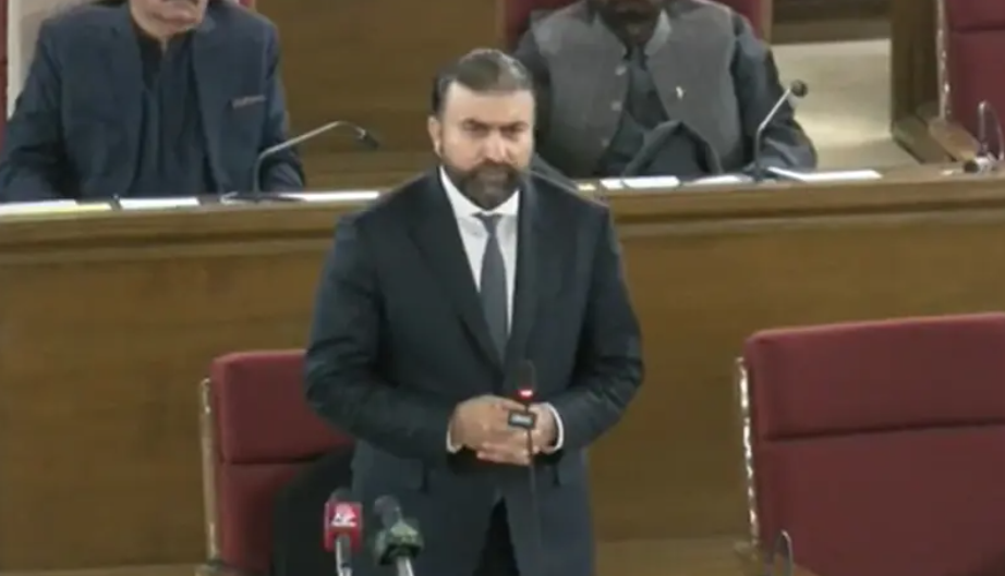
PTI Chairman Gauhar Defends Party, Warns Against D...
PTI Chairman Barrister Gauhar in NA: “Wherever a terrorist is, they are our enemy. Do no...
-
Sindh Home Minister Warns Kachha Robbers Amid “O...
Sindh Home Minister Zia Lanjar warns Kachha robbers: “Lay down arms or face death.” 78...
-
Balochistan CM Sarfraz Bugti: No One Allowed to Ta...
Balochistan CM Sarfraz Bugti warns against terrorism, says only the state has the right to...
-
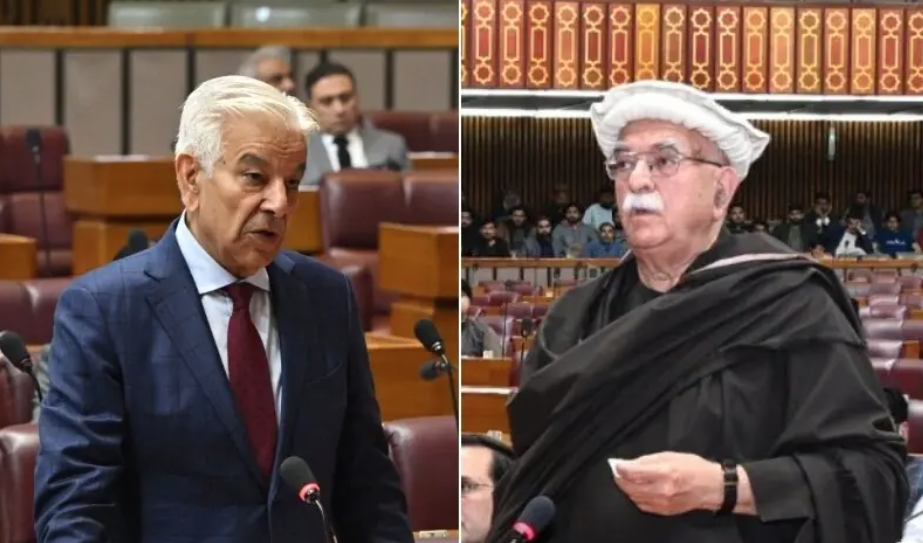
Khawaja Asif Rebukes Achakzai, NA Adopts Resolutio...
Defense Minister Khawaja Asif condemns Achakzai’s “force of four districts” remark, ...
-
Khawaja Asif Signals Action Against Terrorists in ...
Defense Minister Khawaja Asif warns terrorism from Afghanistan will be addressed before Ra...